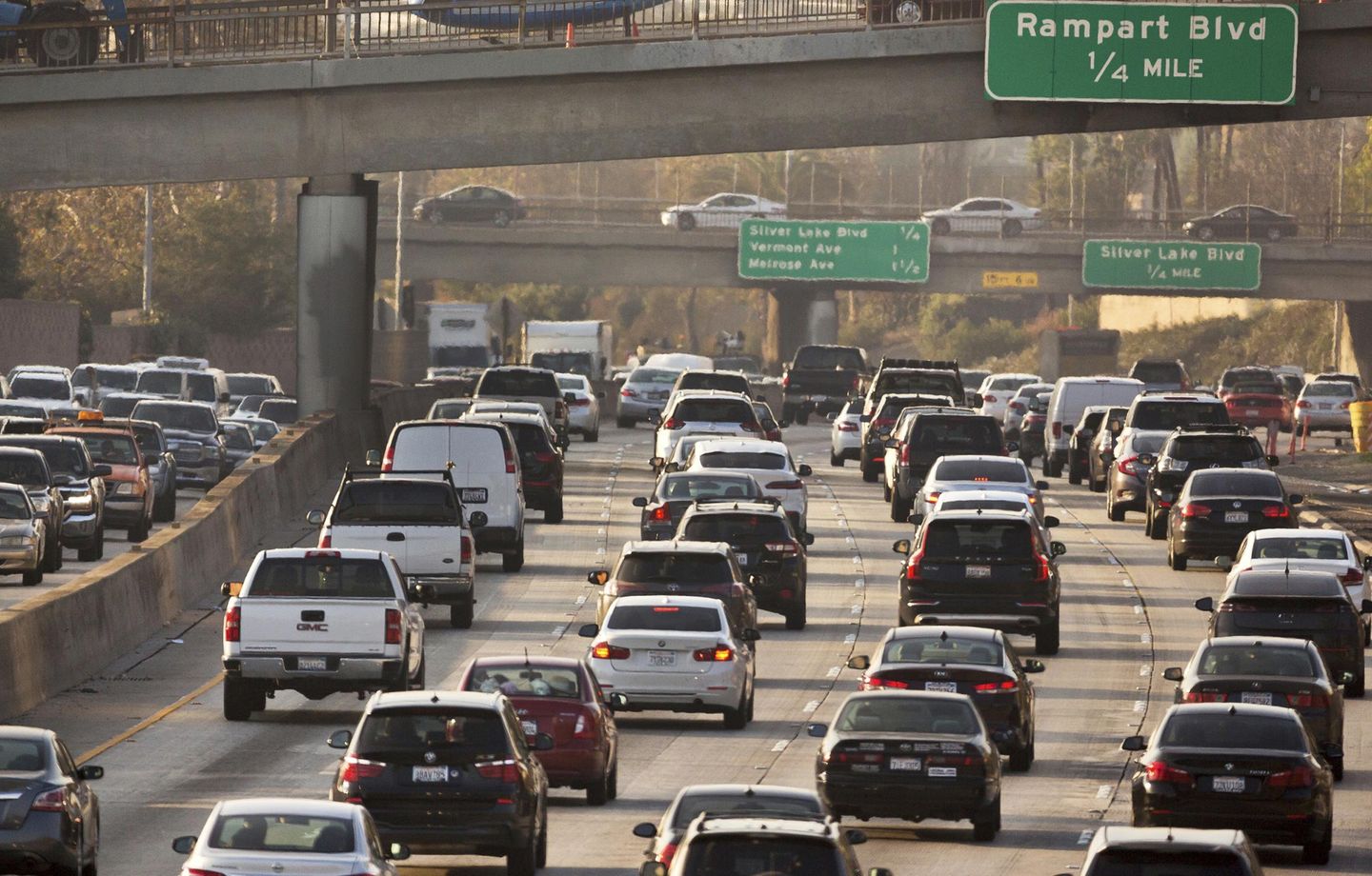
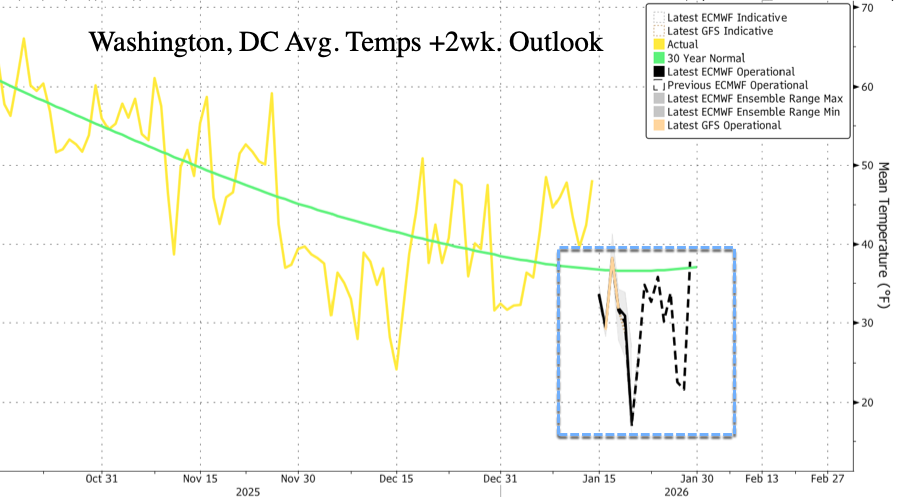
Average temperatures across the Mid-Atlantic, including Washington, DC, have trended above the 30-year normal in recent weeks (pressuring NatGas futures) following an Arctic plunge in early December, but a second cold blast of the season is expected to arrive by the end of the week, bringing the risk of winter precipitation by late weekend that could extend into early next week.
"Not one, not two, not three, but four or five plunges of polar air will probably hit the United States through the end of the month. The third, fourth, and fifth episodes currently look to bring the most severe cold," meteorologist Ben Noll wrote on X.
Not one, not two, not three, but four or five plunges of polar air will probably hit the United States through the end of the month 🥶
— Ben Noll (@BenNollWeather) January 15, 2026
The third, fourth and fifth episodes currently look to bring the most severe cold. pic.twitter.com/8G6YocYRnb
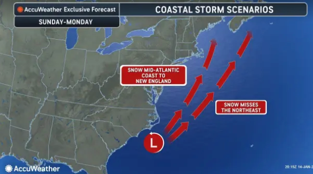
With the incoming cold blast comes the risk of snow for parts of the East Coast. AccuWeather meteorologists say a shifting jet stream will bring a narrow band of snow from southern Georgia to the Mid-Atlantic states and into the Northeast by late weekend.
Meteorologists and weather observers on X have begun posting models ...
GFS forecasting a classic Bastardi wave. This is a known phenomena that it snows where I used to live and I wave at it as it goes by to my southeast. The central Pennsylvania snow hole continues. pic.twitter.com/PBrTdrUQ4B
— The American Storm (@BigJoeBastardi) January 15, 2026
SNOW is becoming more likely across the Southeast on Sunday! 👀 pic.twitter.com/NcTVtMFPqS
— Max Velocity (@MaxVelocityWX) January 15, 2026
Areas from the Florida Panhandle to the Carolinas could see some snow on Sunday, but the odds for more than an inch aren't high.
— Ben Noll (@BenNollWeather) January 15, 2026
Warm grounds and marginally cold air temperatures will work against a big event.
Still, any snow in this region is noteworthy, so keep watching! pic.twitter.com/xkOO4pBBf4
Still in the game. There will be two chances for snow around Baltimore this weekend. Snow showers on Saturday could produce a coating of snow in some areas. Then there's the coastal storm on Sunday. The trend on that storm is NW. Models are split on getting the snow into… pic.twitter.com/r3keHoClMb
— Tony Pann (@TonyPannWBAL) January 15, 2026
Note that the Lower 48 has reached the low point of the winter season, which continues through the end of the month.


